click
for full size |
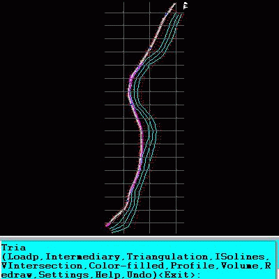
An add-on for AUTOCAD 2002-2018, for the triangulation of a set of POINTS, isolines, DWG to Google Earth, the volume and center of gravity of a set of bodies or between surfaces composed of 3DFACE. You can load a file of points having the format: Number X Y Z Code. You can make cross sections, longitudinal profile and color-filled contour map.
|
